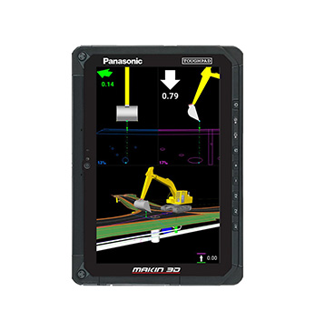
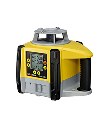
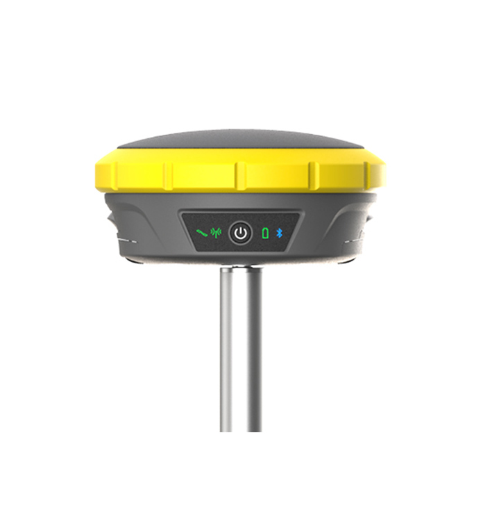
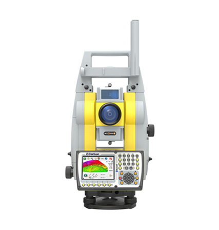
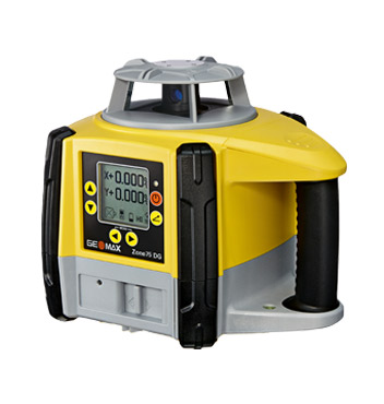
GeoMax
GeoMax gives you the tools to perform measurements with the right precision
GeoMax is part of Hexagon, which in recent years has built up trust with its partners and built a strong network of dealers all over the world.
This trust is earned through our knowledge of the users’ needs in their daily environment, the quality and performance of our product range, a large service offering, tailored technical training and a proximity-oriented business strategy.
GeoMax’s success also comes from our visionary approach to managing software and data. While most major players offered solutions on Windows CE, GeoMax – introduced the World’s first Android-enabled software: X-PAD.
X-PAD Ultimate Survey
- X-PAD Ultimate SHIELD (always included)
- 1 year X-PERT Included
- Automatic Software Updates
- Start-up training
Are you, for example, a land surveyor, measurement technician or a construction contractor looking for ease of use and flexibility? X-PAD Ultimate Survey is the best solution for all staking projects, design surveys, property surveys and layout needs. It combines data collection from all GeoMax instruments and gives you complete functionality, data integration, scalability and the latest technology – covering all your needs in the field. Connect all your measuring devices to one and the same software and feel the difference!
X-PAD software + Android TM – The perfect match for efficient field work
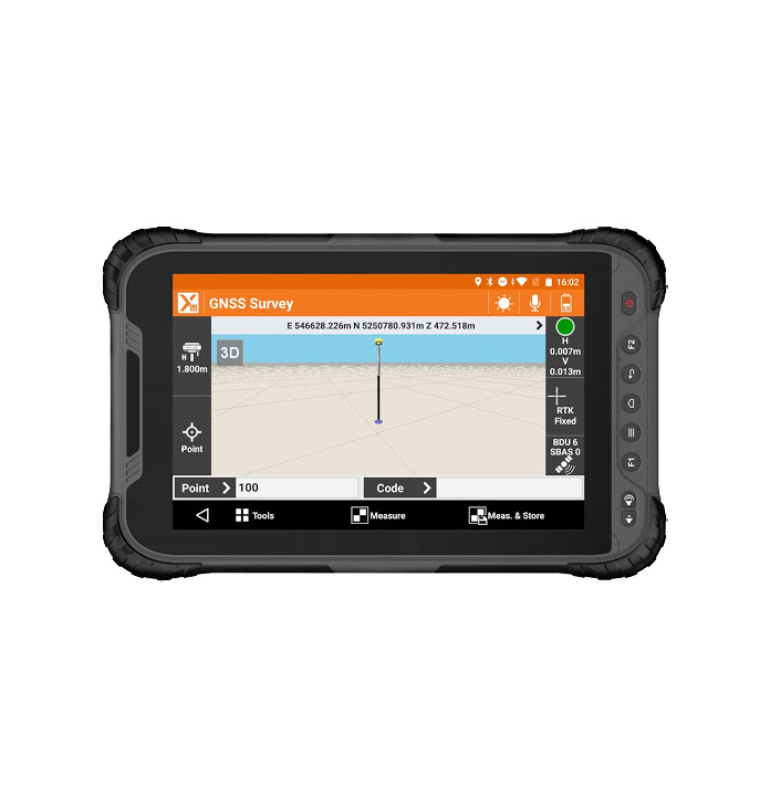
The dedicated GeoMax field software X-PAD Ultimate and GeoMax’s own Zenius800 or Samsung Galaxy Tab Active are the perfect match when it comes to your daily work in the field. X-PAD Ultimate provides the perfect balance between clear structure, simple workflows and high functionality. Through close collaboration with key users, it is always relevant. The software runs on the Zenius800 as it does on any other Android TM device. We also offer the market’s fastest pad, the Samsung Galaxy Tab Active.
Read more in the brochure
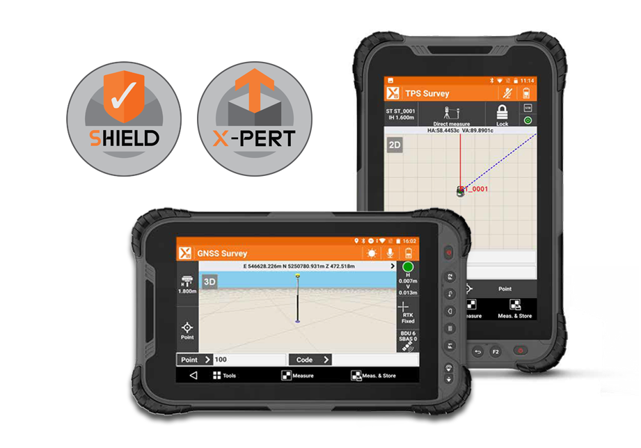
- One software for all measuring instruments
- Voice control
- Augmented reality (measure with camera as background)
- Share files with the touch of a button
- Easy remote support for system users
- Android as operating system
- Can be run against all Totalstations and the Zenith series.
- Can be run in the following modules: GNSS, TPS, ROBOTIC, BUILD EXTENSION, ROAD, VOLUME, X-POLE, GIS, BIM, LOCATORS.
- Can run in recommended PAD: Samsung Galaxy Tab Active or GeoMax Zenius 800
- 3D CAD
- Most WMS maps
- Draw, edit and mark measurement points via advanced editing mode.
Unique features
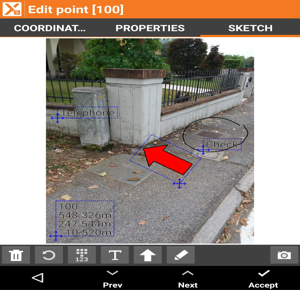
SMARTDRAWING: MEASURE AND DRAW AT THE SAME TIME
The innovative automatic design system with measurement codes allows you to view the measurement drawing and lay out point by point without requiring long and complex coding.
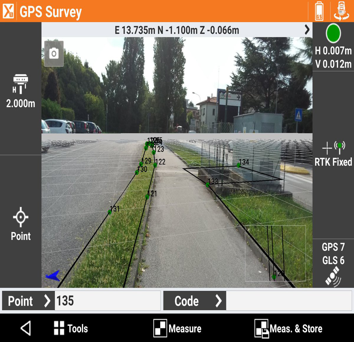
AUGMENTED REALITY
Aim the camera at the location and you can immediately see where the points and elements for release are.
